|
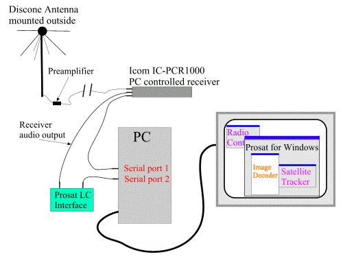
Continuing our
attempts to improve the quality and length of the weathersat
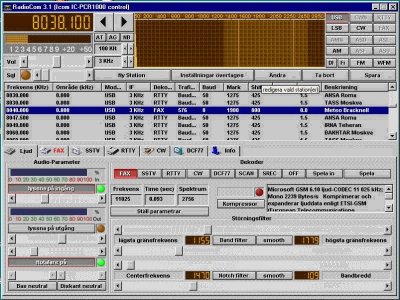
images, we obtained a commercial receiver interface
and decoder from Timestep [Timestep no longer sells
sat reception equipment, Dartcom
is one option]. This system also came with a software
environment with satellite tracking, image processing,
automatic image saving, etc.
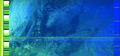
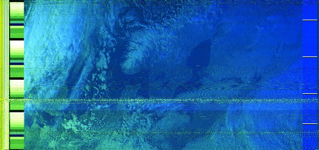
A
false color
image obtained with System 3 and using the PROsat
software image processing tools. Sweden, Norway and
much of the Baltic are visible. The visible and IR
image data has been combined here. Larger version,
Raw image.
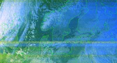
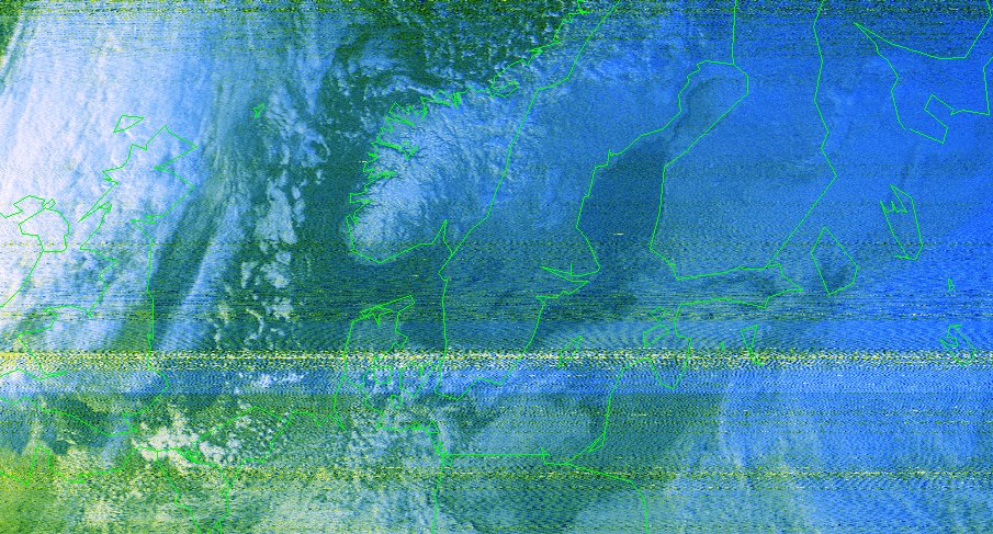
Same
image but with countries outlined using the PROsat
software.
|


